Our Work
showcase of our CAD drafting and survey projects — delivering precise, reliable, and efficient documentation.
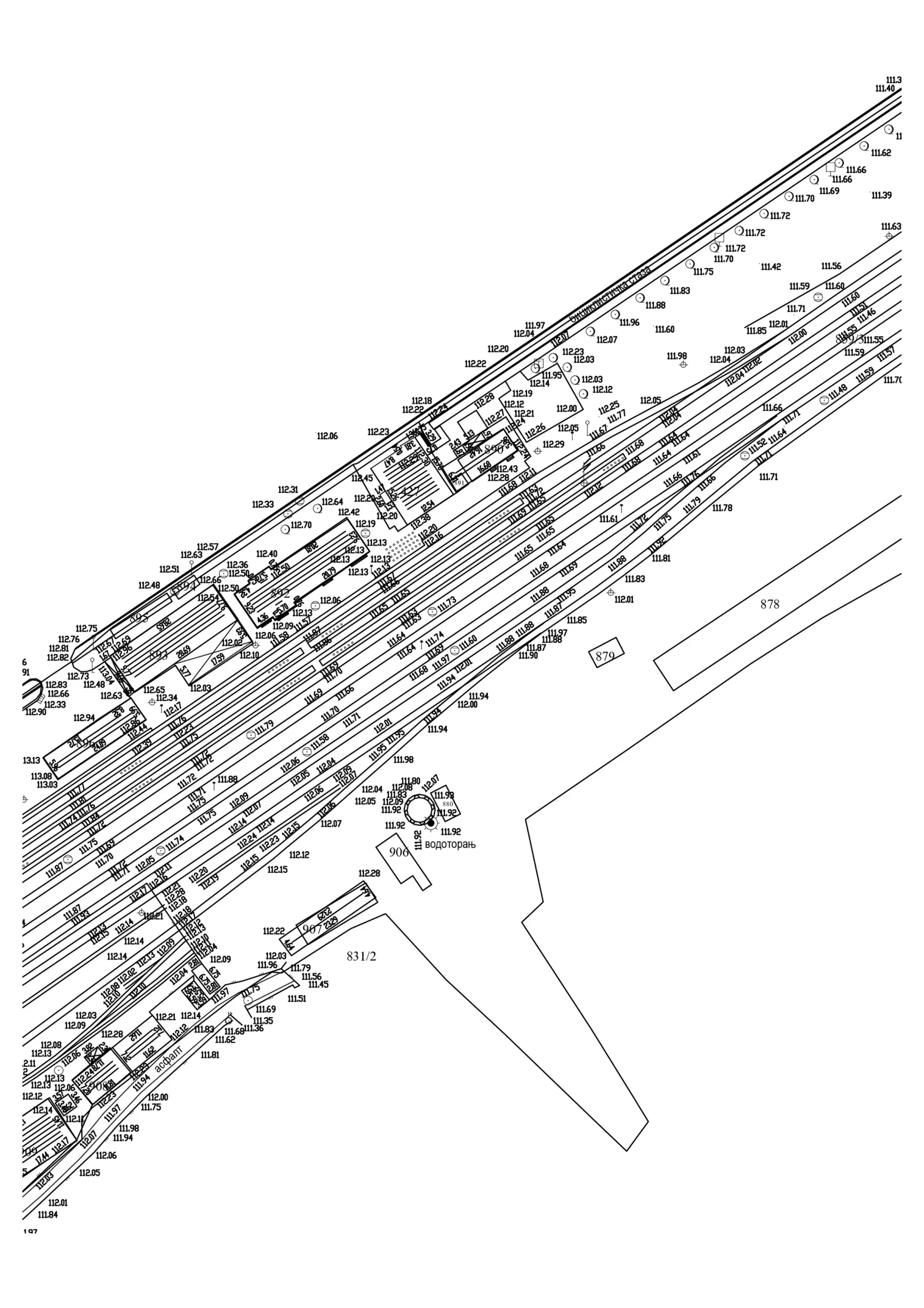
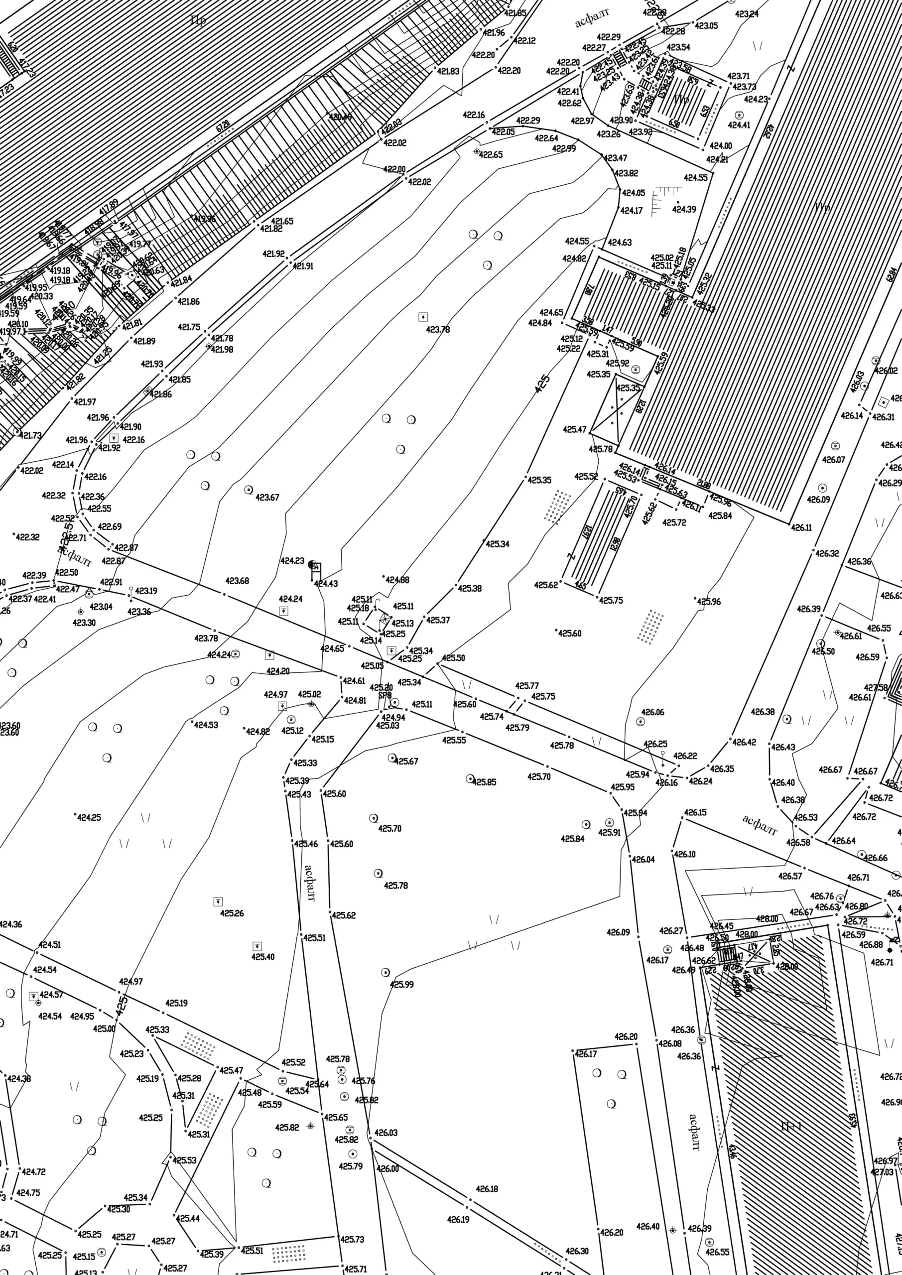
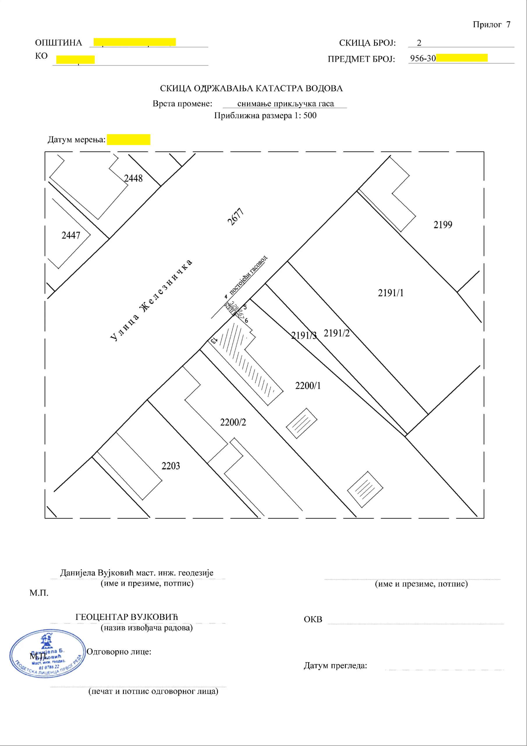
Start Your Free TrialTopographic Survey Plan for Cultural Heritage Protection (Scale 1:500)
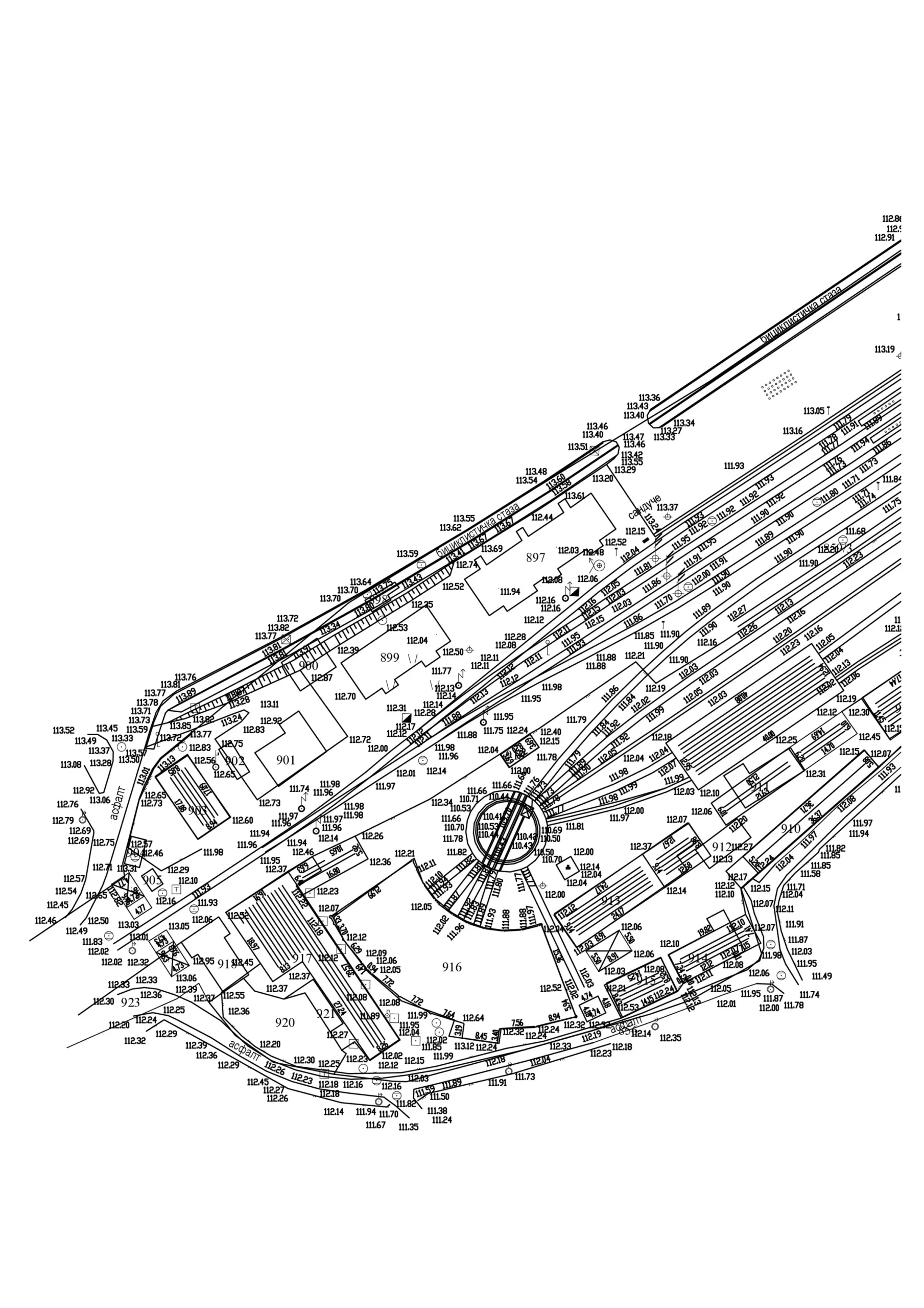
Preparation of a cadastral topographic plan at a 1:500 scale for the Institute for the Protection of Cultural Monuments. The project included detailed field surveying, drafting, and compliance with local regulations regarding the preservation of cultural sites.
Key tasks:
Field survey using total station and GNSS
Creation of high-detail DWG plans
Collaboration with government institutions
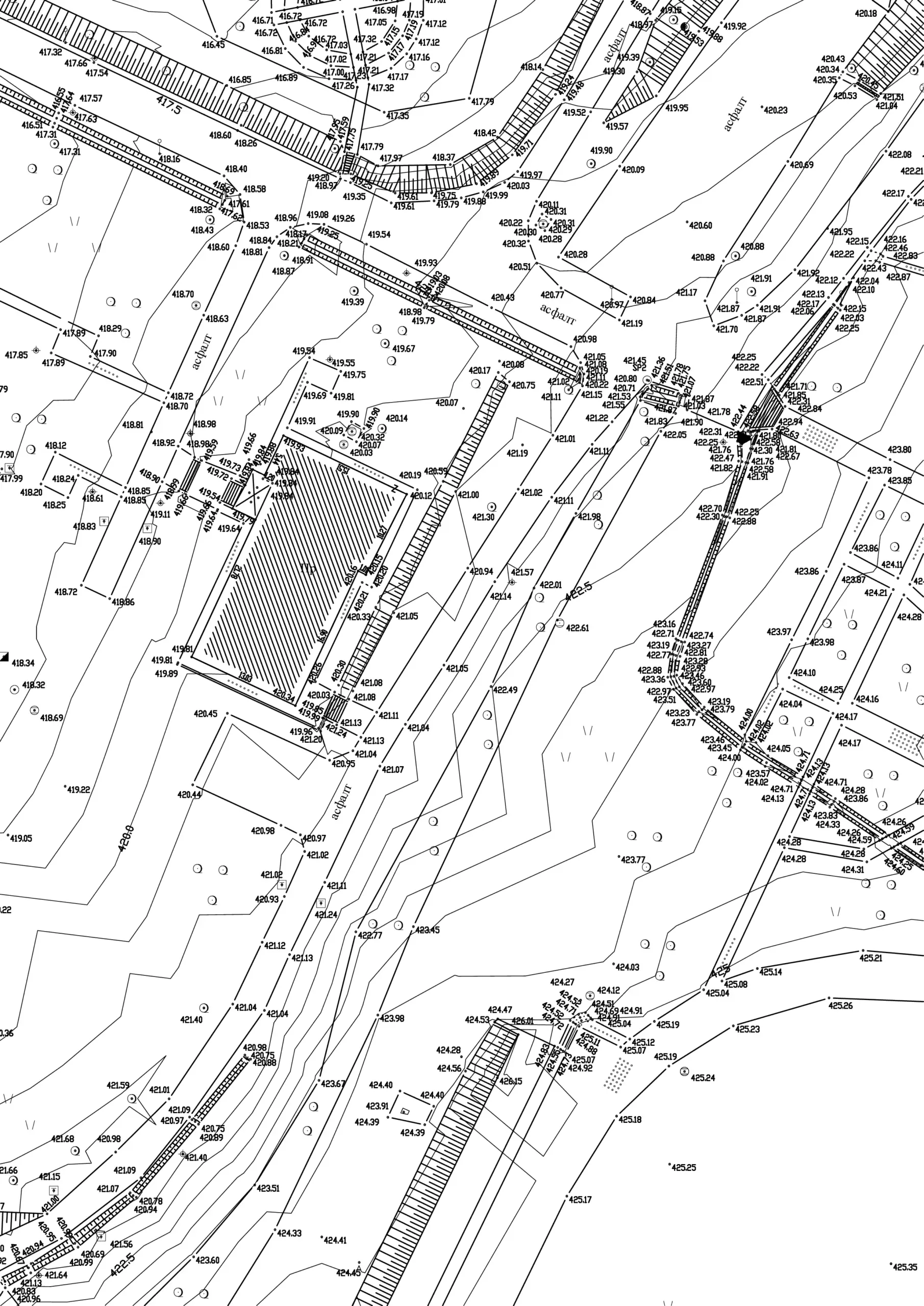
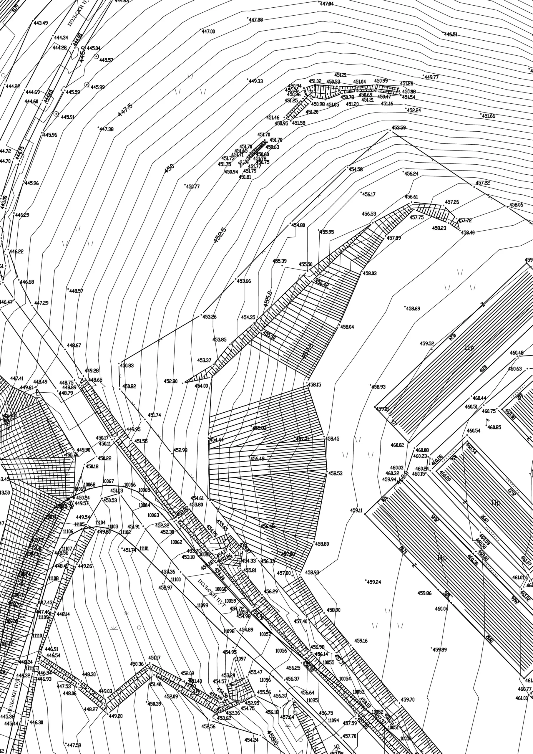
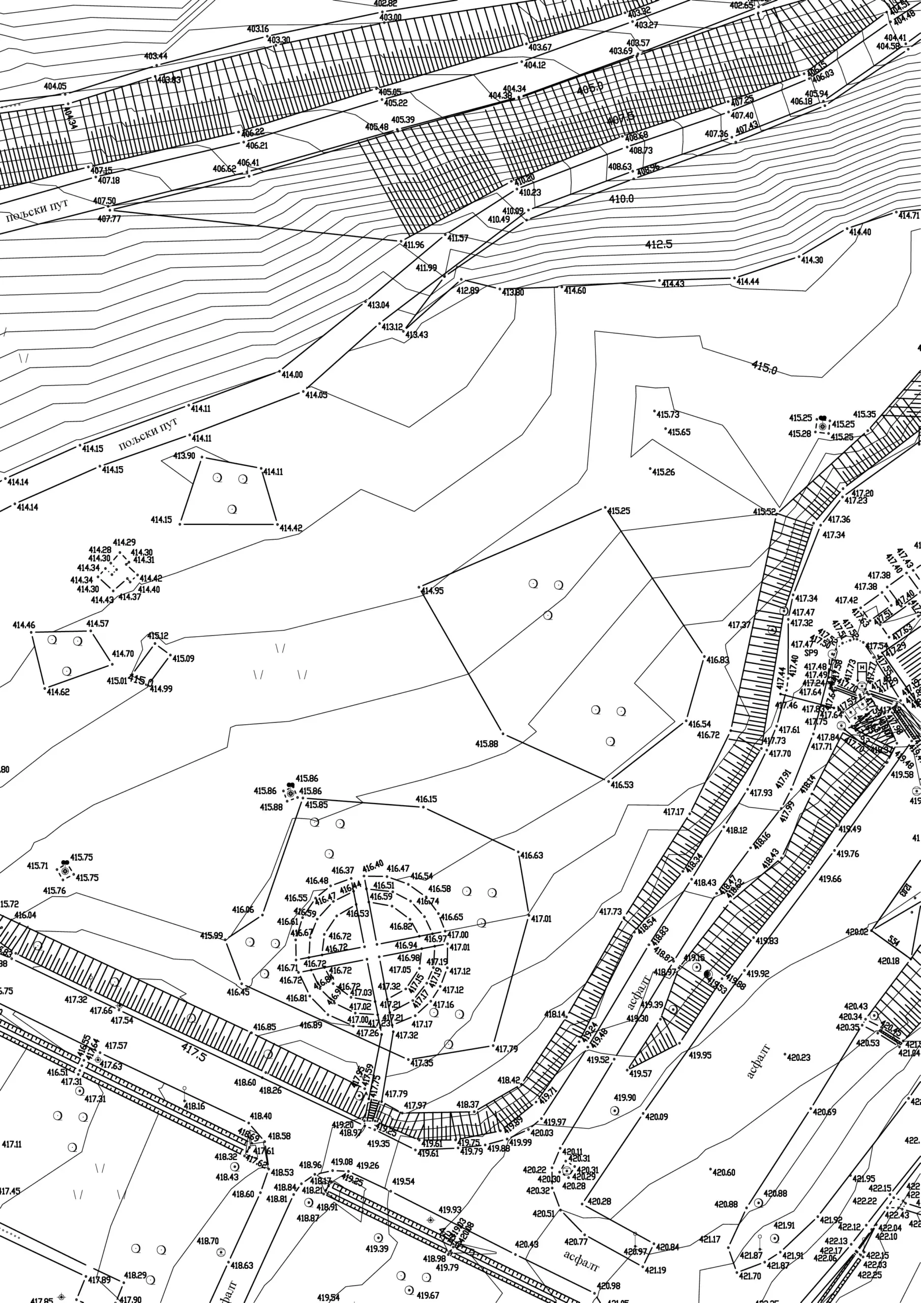
Topographic Survey with Contour Lines for Cemetery Expansion
Development of a cadastral topographic plan with superimposed contour lines (elevation curves) for cemetery expansion planning in Barajevo. Surface modeling was performed to provide precise elevation data for future works.
Key tasks:
Field data collection
Surface modeling and generation of contour lines (isoheights)
Preparation of plan for urban planning and expansion
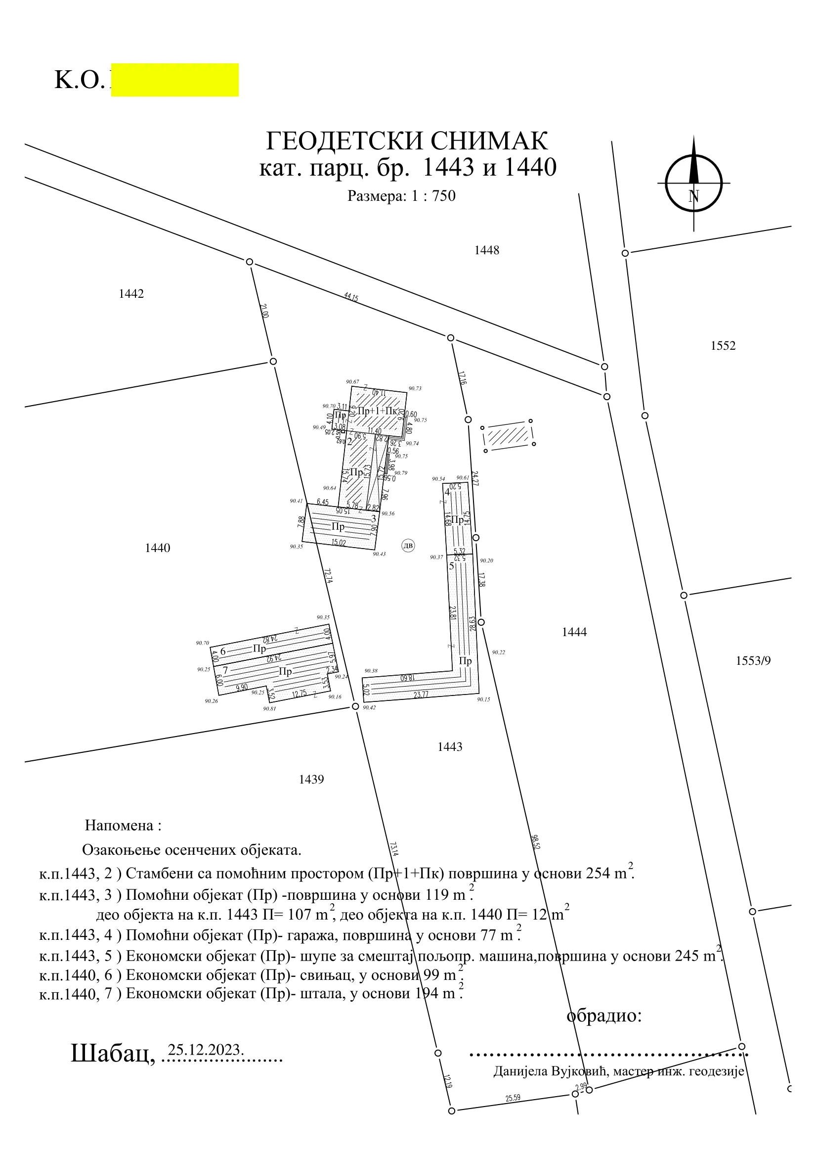
Volume Calculation via GPS Surveying
Field surveying using GNSS technology to obtain high-precision terrain data, followed by calculation of earthwork volumes (cut/fill). Deliverables included raw point data, processed coordinates, and detailed volume reports.
Key tasks:
GNSS data collection and post-processing
Volume calculations for earthworks
Report preparation in PDF/DWG formats
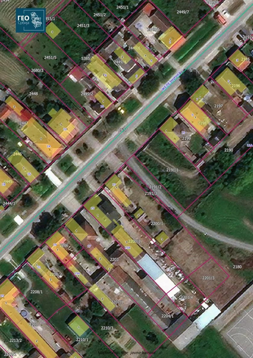
Georeferencing and Creation of CAD Base Maps from Satellite Imagery
Georeferencing satellite images and converting them into accurate CAD base maps. The workflow included raster adjustment, alignment to national coordinate system, and vectorization of main features for DWG export.
Key tasks:
Georeferencing satellite imagery (GeoSrbija and commercial sources)
Digitization of visible features (roads, parcels, buildings)
Export of CAD-ready DWG layers
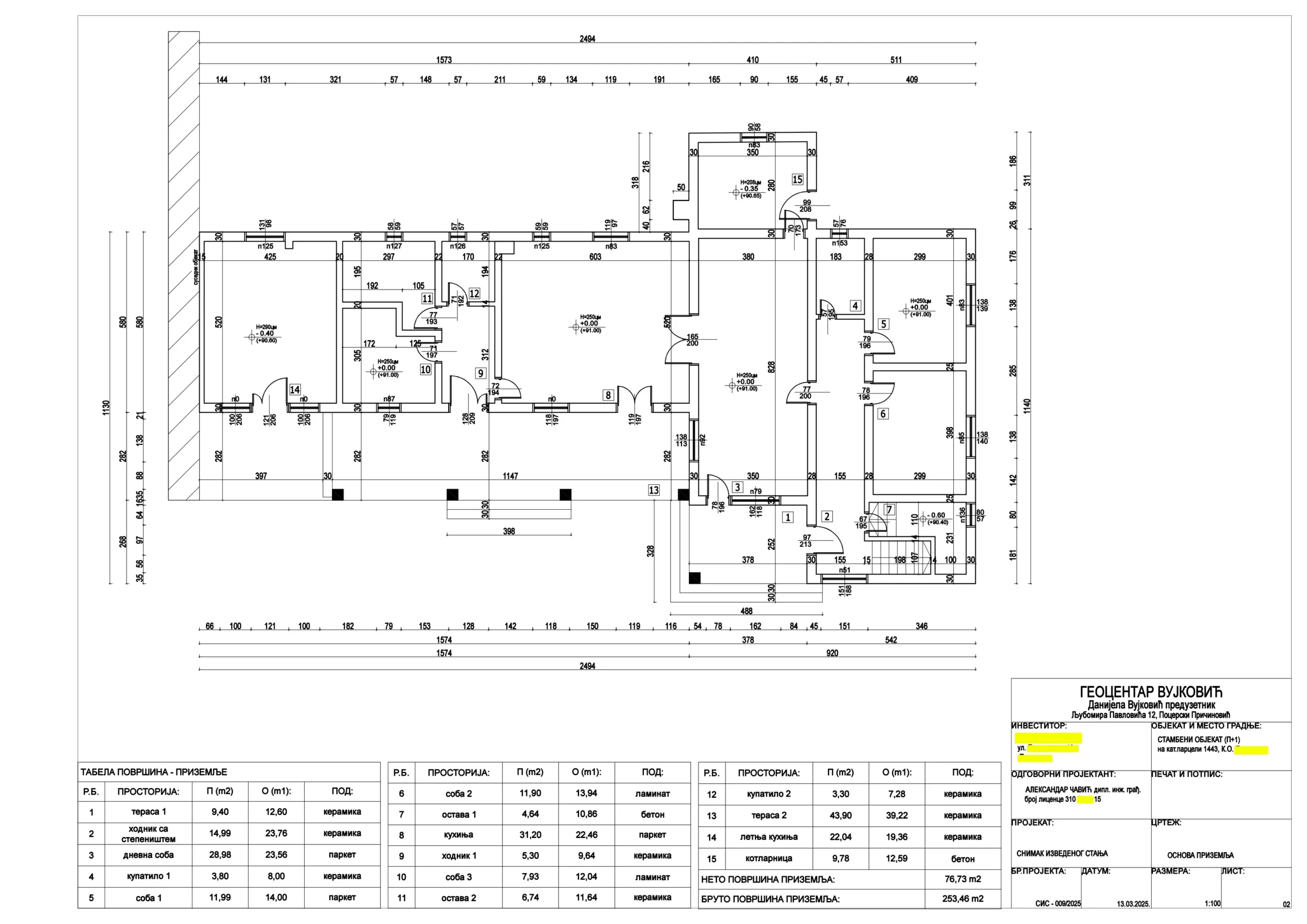
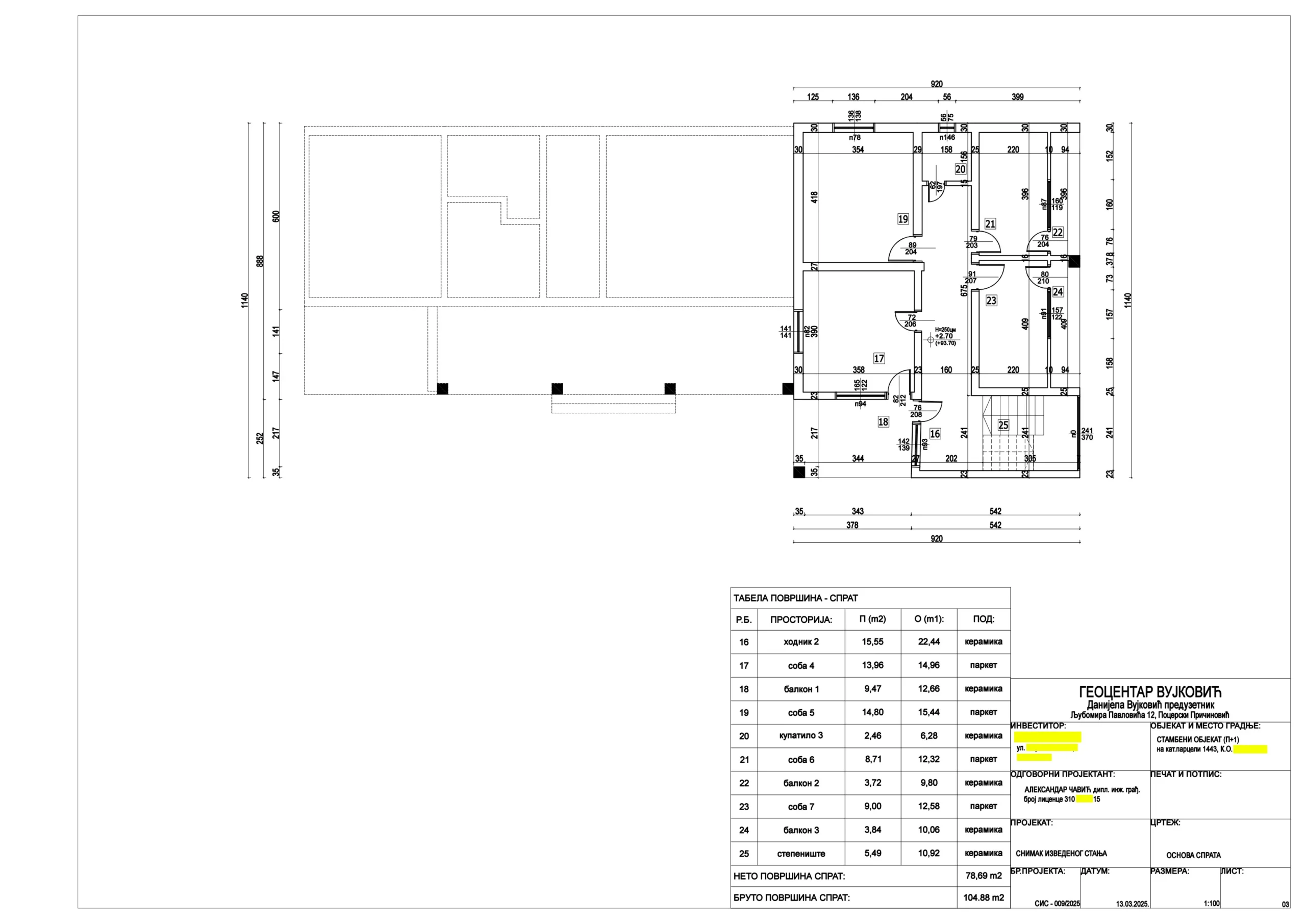
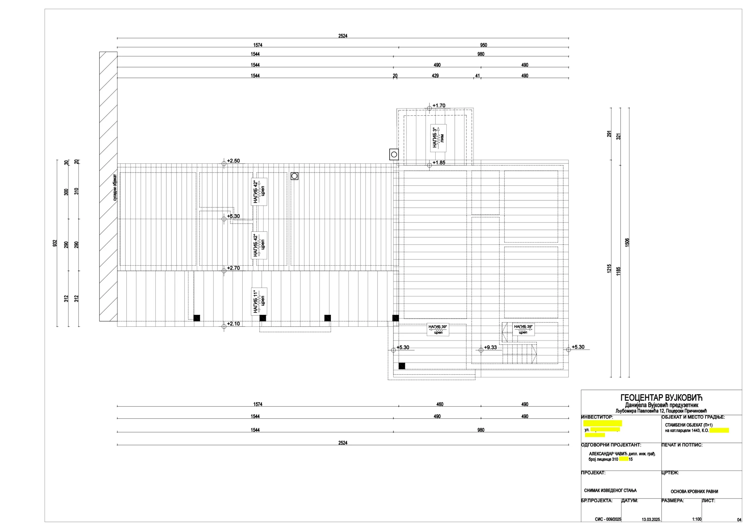
As-Built Floor Plan and Room Schedule
Preparation of detailed as-built floor plans and comprehensive room schedules, including material, area, perimeter, and usage information, for the purpose of building legalization and official documentation. The project also included a technical report describing the current status and features of the property.
Key tasks:
On-site measurement and data collection
DWG drafting of floor plan
Preparation of detailed room schedule (materials, area, perimeter, usage)
Technical documentation and status report